Part One
In 1872 Collis P. Huntington took an overnight float trip down the New River from Hinton to Hawk’s Nest to see where his railroad was going. By 1873 the line was finished. By 1874 the first branch line (Laurel Creek, Quinnemont) was open as was the first mine (Laurel Creek, Joseph Beury). Cutting ever deeper through the mountains, the New River exposed four coal seams world famous for high quality, high BTU coal.
By 1965 it was over. In a lifetime 51 coal towns were born and died. Fortunes were made and lives enriched. I wonder if Mr. Huntington had any conception of the legacy he was creating. But even today the Gorge remains remote and wildly beautiful. The primary access to most of the Gorge is still limited to rafting the river or walking the rails. Today the Gorge is known mostly for fishing and camping (upper Gorge) or rafting and rock climbing (lower Gorge).
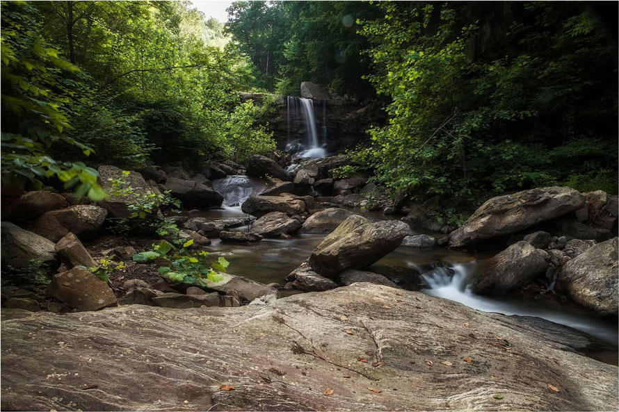
For the more adventurous the Gorge abounds with remote and beautiful streams and waterfalls, amazing cliff overlooks, and an abundance of ruins of the mining towns which once filled the river banks.
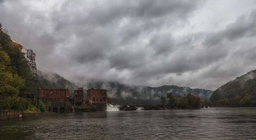
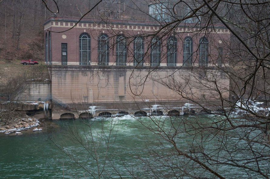
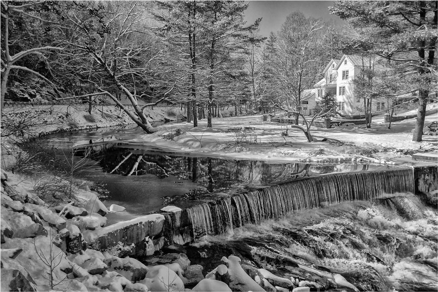
As you travel east through the Kanawha River valley the hills gradually close in. When you get to Glen Ferris there is a brief widening of the valley. Along here, just before you enter the Gorge, the river is wide and flat behind the low dam which is part of the hydroelectric plant facility. On calm days it transforms into a beautiful mirror for the mountains. Just about one mile upstream from here is the town of Gauley Bridge where the Gauley River and the New River come together to form the Kanawha River.
I miss the old bridge. The old bridge had a length of sturdy rope affixed to its lower structure which was great for swinging way out and dropping into the river. The rocks were easy to climb back up. But it still is a great place to spend a pleasant day exploring all the nooks and crannies. And upstream from the rock the water is not too deep and with the river’s hard bottom it’s a great place for swimming.
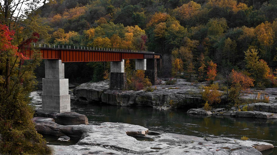
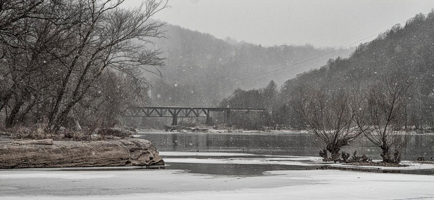
A few years ago the old bridge for the Gauley Sub was replaced at great expense. Not long after the new bridge opened, the mine this Subdivision served was shut down. About the only thing the bridge is used for today is to park MOW equipment on the north side of the river.
They replaced most of the old bridge but the two old girders on the south side were left in place and they still retain the now faded but obvious C&O RR lettering.
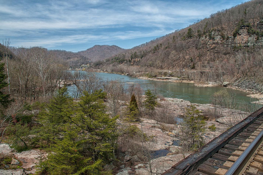
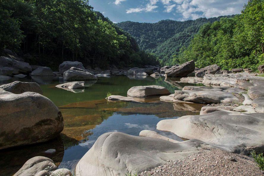
I’ve always been curious about how deep the river is here. As you can see, it’s so narrow you could almost through a rock across it. But upstream about 45 miles, above Sandstone Falls, the river is 1,500 feet wide.
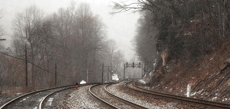
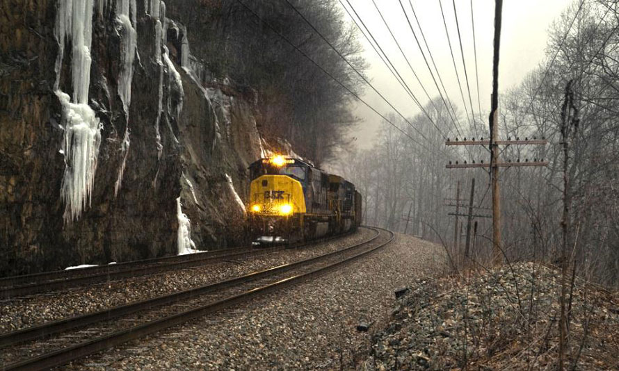
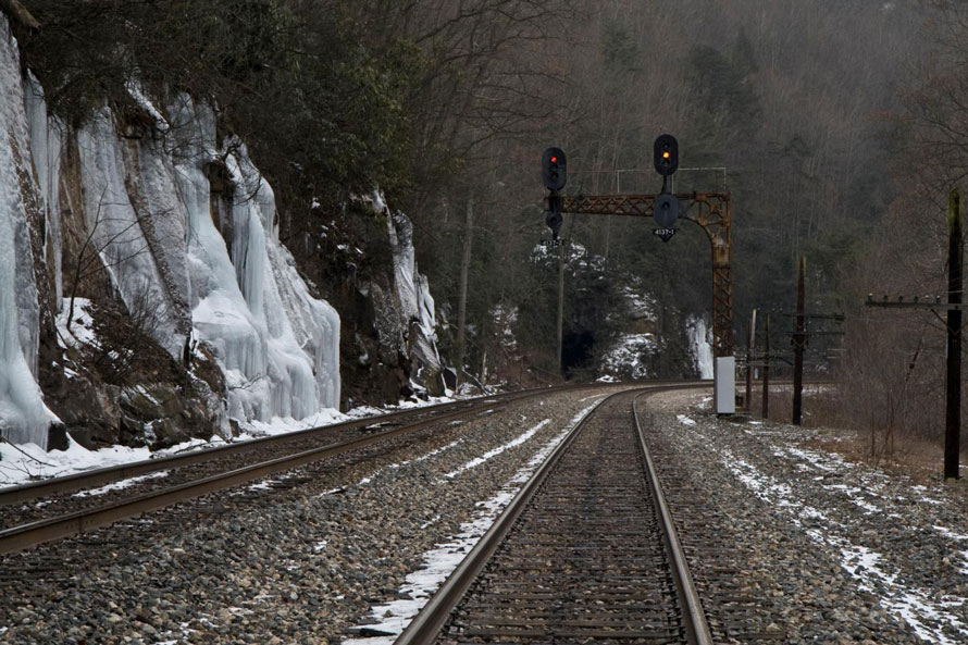
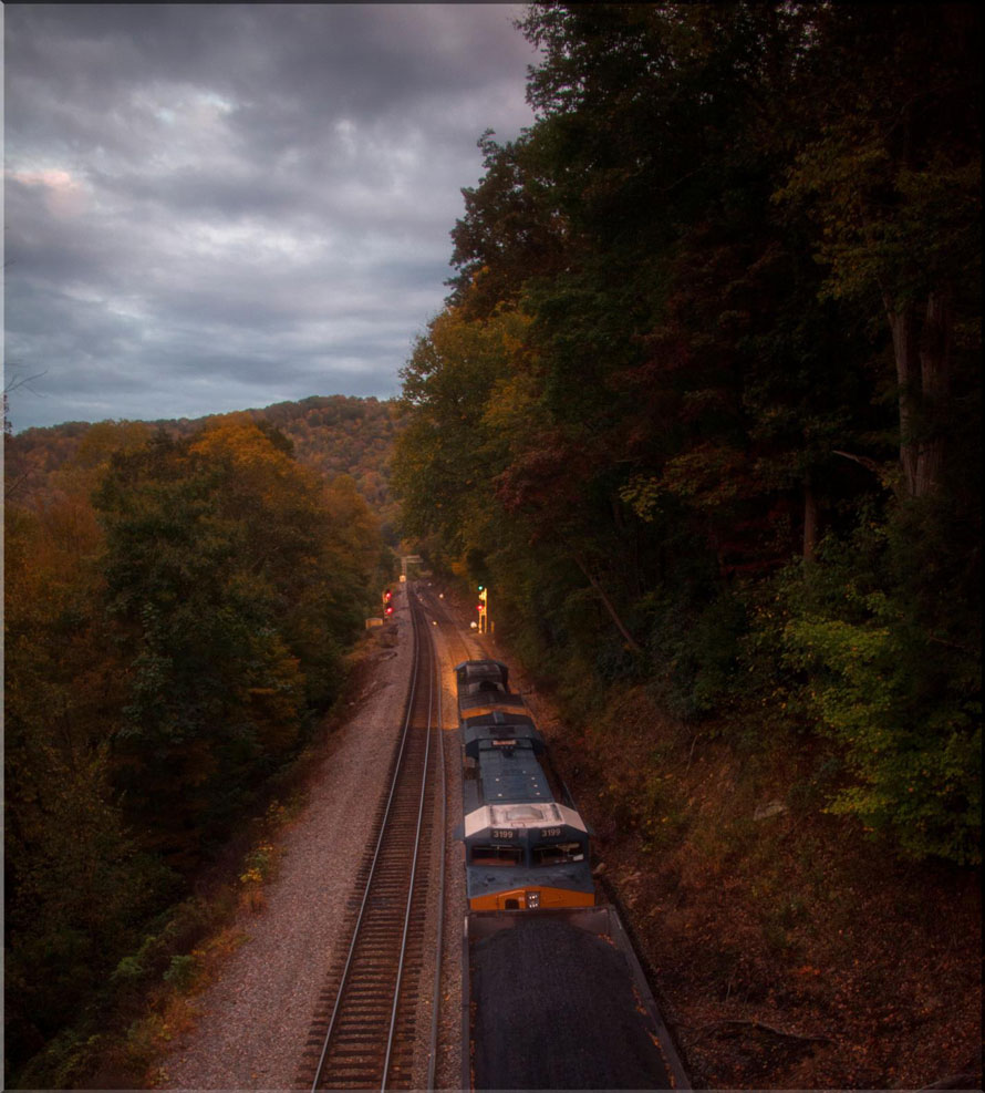
Since I captured these images the old C&O cantilever signals as well as the signal bridge have been replaced. Equally unfortunate, as least from a photographic perspective, about all of the pole lines in the Gorge have been taken out.
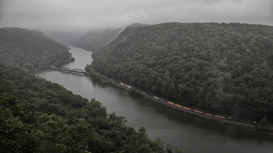
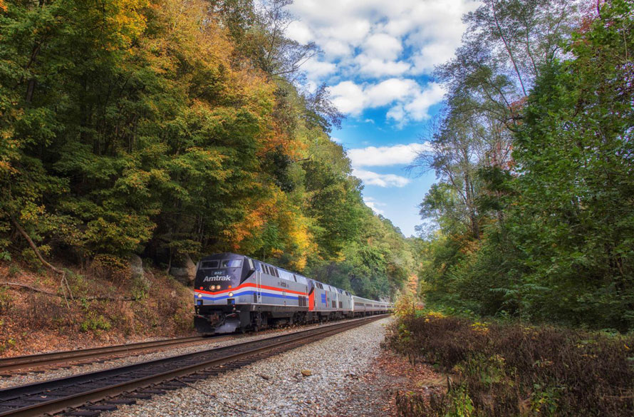
As we progress up through the Gorge the river has many turns, changing direction almost constantly. For easier reference I’ll refer to things as being on the North or South side of the river, North being on the left as you look upriver. With the possible exception of the lead photo for each installment of this series all photographs will be in a sequence traveling from west to east.
When the rail road was first built there were three tunnels along this section of the river; Blue Hole, Shoo Fly, and Pope’s Nose. In 1934 Blue Hole was bypassed and the other two were daylighted.
A little over three miles upriver from Gauley Bridge you come to Cotton Hill. Cotton Hill is one of a few places where a road crosses the New (in this case Route 16). Cotton Hill provides great access to the river and is a popular place for swimming, picnics and fishing. Folks used to camp here as well but that is no longer allowed. On the north side of the river a nice trail provides access to the base of the Hawk’s Nest dam. It’s quite a sight and worth the walk. A number of very large boulders are scattered about the hard bottom river channel and the area is popular for “bouldering”, a form of climbing.
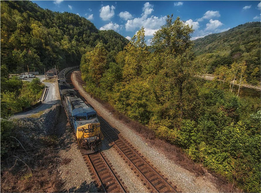
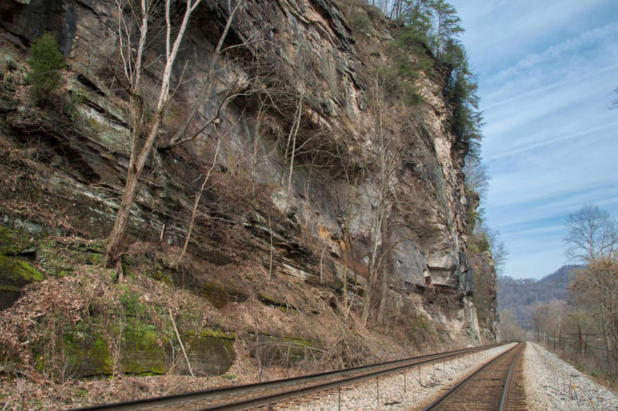
Chasing trains in the Gorge seldom works out. Road access to the Gorge is limited and often the route between access points moves you well away from the river. However, heavy freights are slowed considerably as soon as they enter the Gorge due to the gradient. If you catch a heavy east-bound at Kanawha Falls you can almost always catch it again here at Cotton Hill though that requires driving over Gauley Mountain rather quickly. If you catch one here you can certainly beat it to Thurmond, WV. For heavy coal drags you can often catch one here then beat it to Cunard where you can see it crossing over the Sewell Bridge. It’s only 12 miles from here to Cunard but those long coal trains move slow.
In our next installment we will move on to Hawk’s Nest and begin to delve into the rich history of coal mining in the Gorge. Hawk’s Nest, or more correctly Anstead, West Virginia, was the western limit of coal mining in the New River Gorge.
Don't miss The New River Gorge - Part Two,
  coming April 13, 2017
Fred Wolfe – Photographs and text Copyright 2016
See more of Fred’s work at http://fredwolfe.Zenfolio.com or find him on Facebook at Wolfelight-Images and at http://www.facebook.com/fred.wolfe.98
Feeling like I walked every mile alongside of you with these photos. Very well-told story!
Thank you Stu.
Fred, wonderful narrative. Although I’ve never seen this part of the country, you have documented the railroad and surrounding history very well.
Thank you Bob.
Fred, What a wonderful 6-part story and amazing photos rich in details for modellers and historians alike. I wondered if I could republish your articles in the NMRA British Region magazine “Roundhouse” so that our members in the United Kingdom could see your amazing story. Edd has very kindly in the past allowed me to contact contributors through Trackside Photographer.
Sorry, Peter, to have taken four years to reply. Missed your comment first time around. Yes, you may republish.