In Part Three we had just arrived at the Sewell Bridge. Here on the south side of the Sewell Bridge was the location of the western terminus of the Southside Junction. Most of the mining in the Gorge was “drift mining” – coal seams were exposed on the mountain slopes and all that required was building access up to the seam and then mining into it. Since the New River had simply interrupted the various seams, those on the north side were continued on the slopes of the south side. The Southside Junction was built to accommodate mining these other seams. The Southside Junction ran from here up to Dun Glen across from Thurmond, West Virginia.
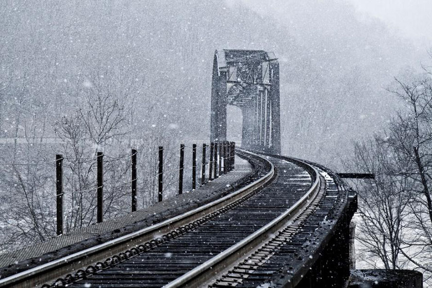
Crossing Mann’s Creek – Just east of the Sewell Bridge and on the north side, the rails cross Mann’s Creek. Mann’s Creek canyon is not the largest in the Gorge but it is the most inaccessible. All the other major side canyons offer some sort of access; rail, road, footpath, etc. Mann’s Creek has none of these. About five miles up the canyon is the location of Babcock State Park with its famous grist mill.A view of the New River from the mouth of Mann’s Creek.Welcome to Sewell! On my first trip to Sewell I was greeted by a crowd of black vultures. Although the Gorge is home to both black vultures and turkey vultures the most abundant are the blacks. The near track runs west to the Sewell Bridge (Main #2). The far track is Main #1. Just ahead a few hundred feet you can see that the rails go to single tracks and they stay that way until Thurmond (although there is a siding beginning at Rush Run about a mile west of Thurmond)
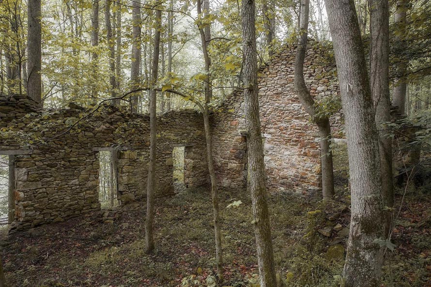
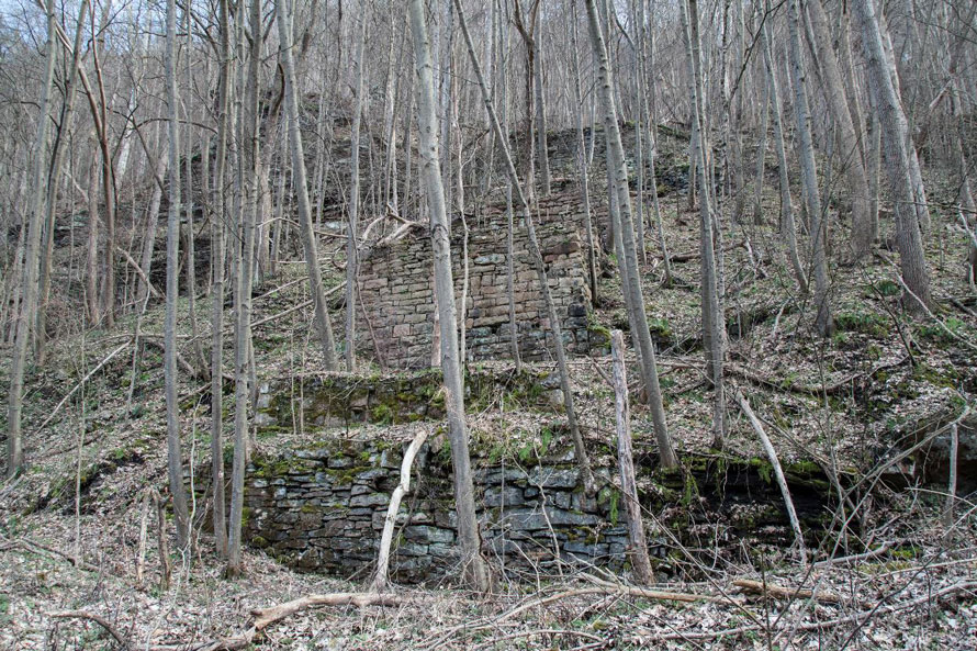
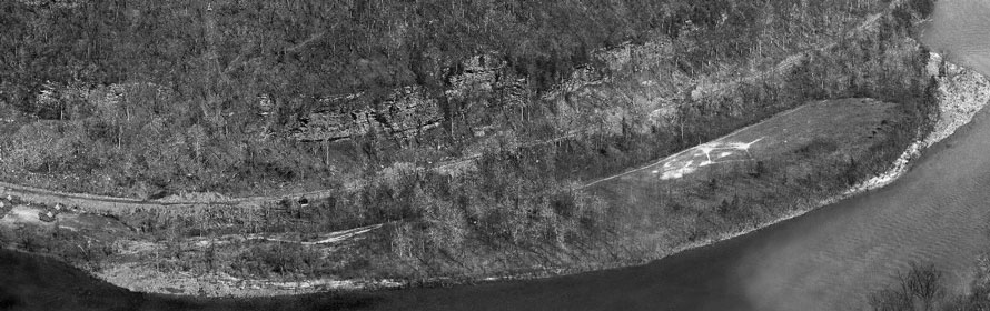
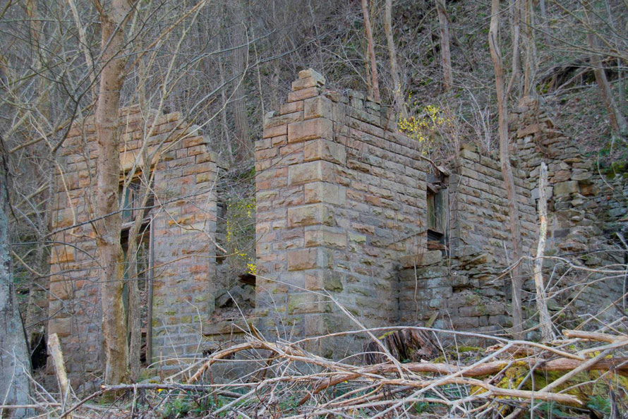
Of all the Ghost towns in the Gorge, Sewell has the most “stuff” to see. There is an abundance of old foundations, abandoned equipment and the like. Sewell was once a busy place with its own road (the Old State Road) which headed up the mountain to the plateau at Clifftop. The road continued on the North side and there was once a vehicle bridge that had a short life due to the power of the river. When a route was being surveyed for the Midland Trail (Route 60) the plan was for it to come down to Sewell, cross the river, then go back up the other side through Cunard and on up to the southside plateau. Road engineers, however, deemed the cliffs on the southside as too formidable an obstacle. Had things been otherwise Sewell would likely still be a living town.
Sewell began in 1798 as Boyer’s Ferry, at the crossing of The Old State Road. If you endeavor to visit Sewell it’s best to go when leaves and undergrowth are gone (late Fall through early Spring is best).
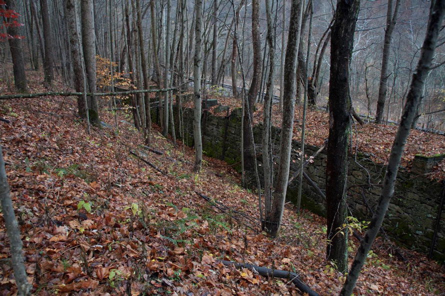
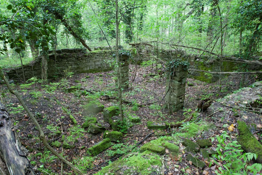
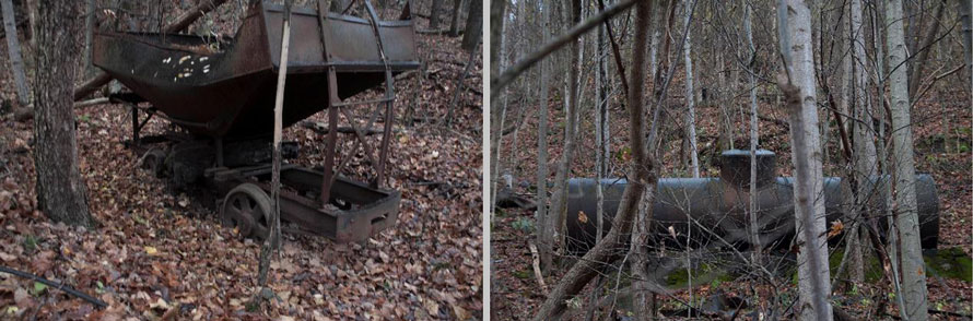
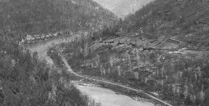
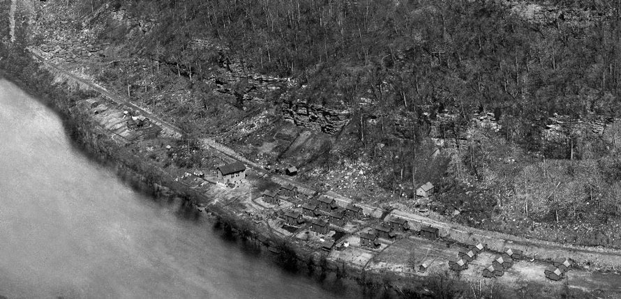
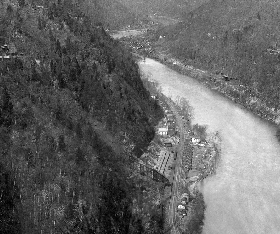
Remains of the two-stall engine house at Sewell. The Mann’s Creek RR was a narrow gauge line which headed up Mann’s Creek to Cliff Top and many other points carrying both coal and timber.Coke ovens at Sewell.One of many building foundations at Sewell.An old larry car at Sewell. I’ve no idea what the tank was. It sits up on a hillside.Drift mine foundations.USGS image of East Sewell. You can just see the train station sitting trackside. In 1883, the C&O installed a turntable at East Sewell, along with facilities to provide its locomotives with sand and water. Several switch engines soon afterwards began operating from Sewell, bringing in coal cars from nearby coal mines to the yard tracks of East Sewell to be made up into trains to be shipped to markets in the east. Mines operating on the C&O in the New River Gorge at this general time period would have included Quinnimont, Stone Cliff, Beury, Fire Creek, Caperton, two mines at Nuttallburg, and two mines at Sewell. However East Sewell’s role as a major switching terminal would be short lived. In 1887, construction began on a branch line railroad down the south side of New River near present-day Thurmond.Crossing Ephraim Creek – about half-way between Sewell and Thurmond. The access road shown here runs from Thurmond all the way down river to Sewell. It’s gated on the Thurmond side but it’s good for walking or for riding a bike. I’ve done both.
As we continue east we quickly pass by several former towns; Pennbrook, Little Fire Creek, Fire Creek and Beury. The towns were very close together and it’s hard as you look at ruins to pin something to a particular town. The one ruin which is easily attributed is the old company store in Beury.
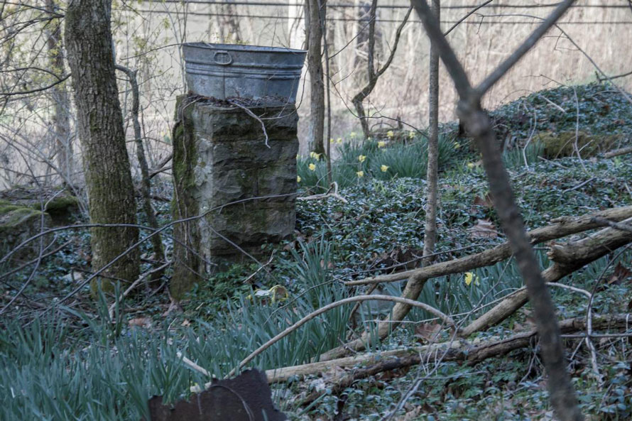
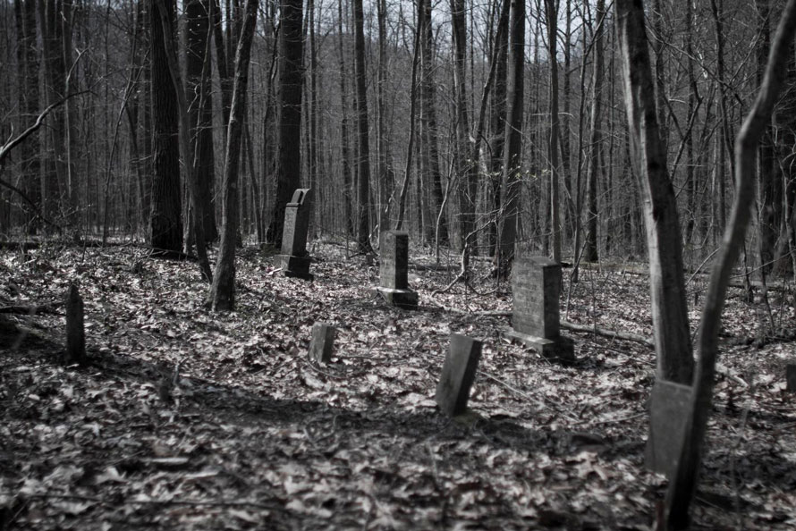
Washtub and daffodils betray, perhaps, a somewhat genteel way of life in Fire Creek.USGS image. Directly across the river from Little Fire Creek is Red Ash Island. In the 1890’s it was a community for smallpox victims. In 1900 it was the burial place of over 200 victims of the Red Ash Mine explosion. At the far west end (right side of image) is the location of the graveyard. The entire island is now overgrown with trees.Graves on Red Ash Island.USGS image – Red Ash, WVUSGS image – Buery, WV.
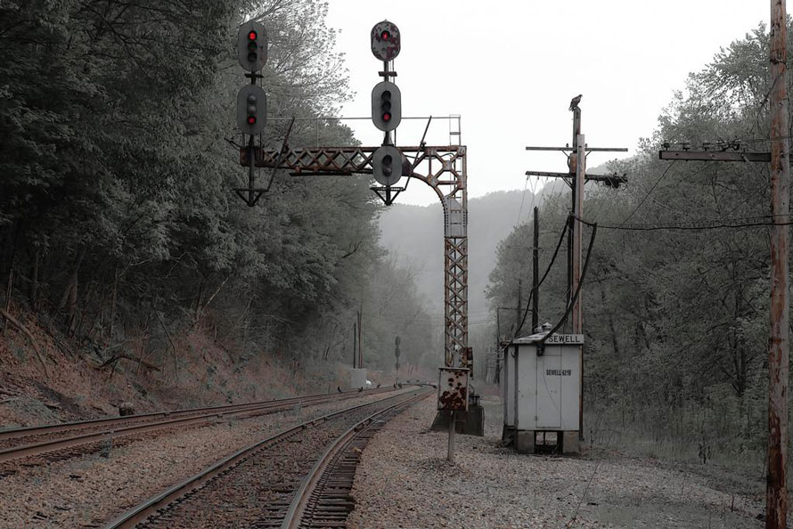
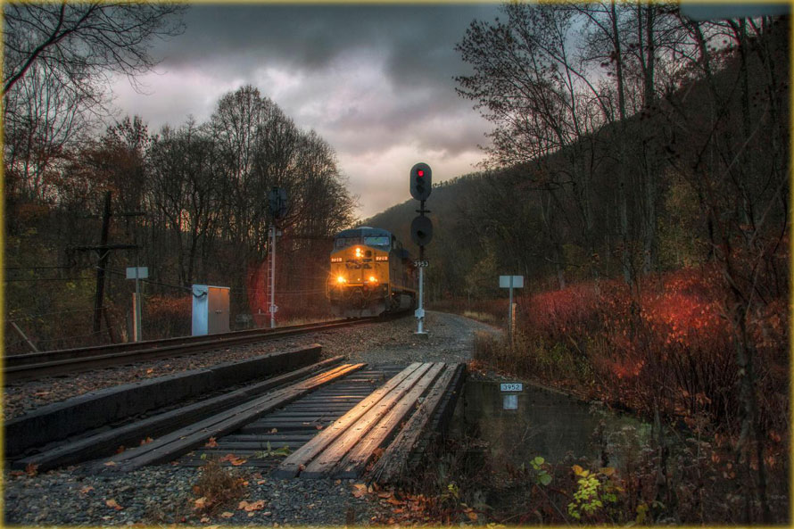
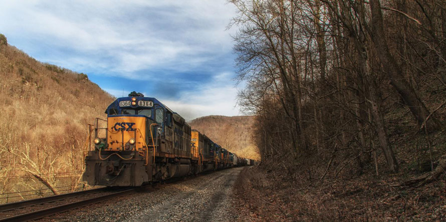
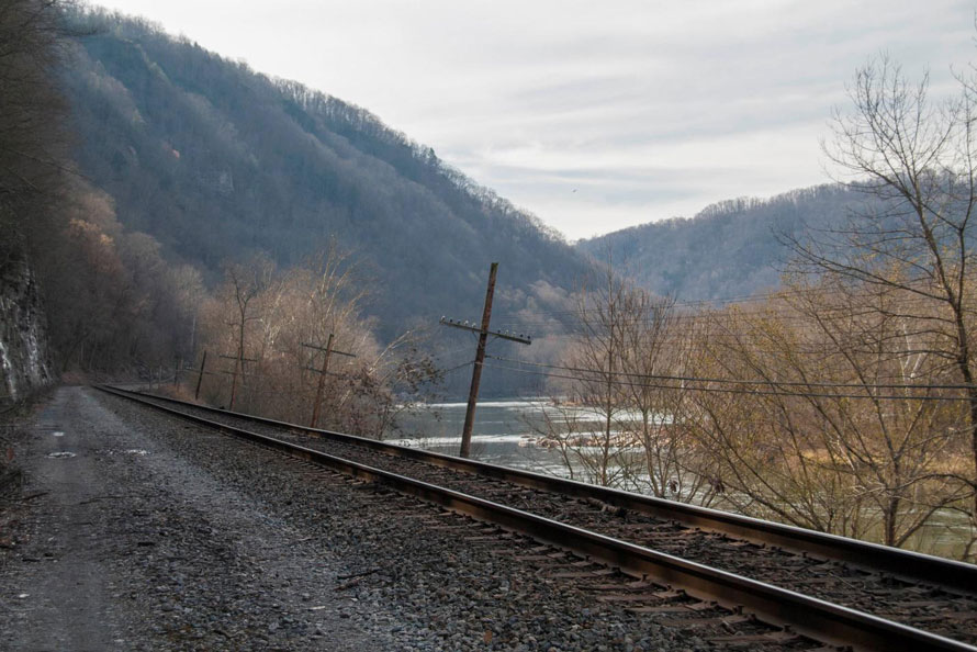
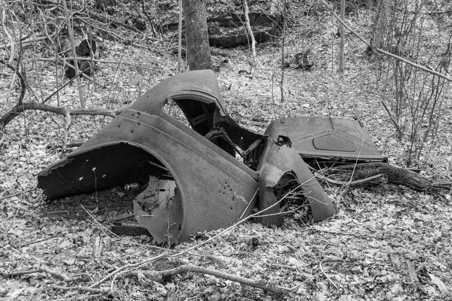
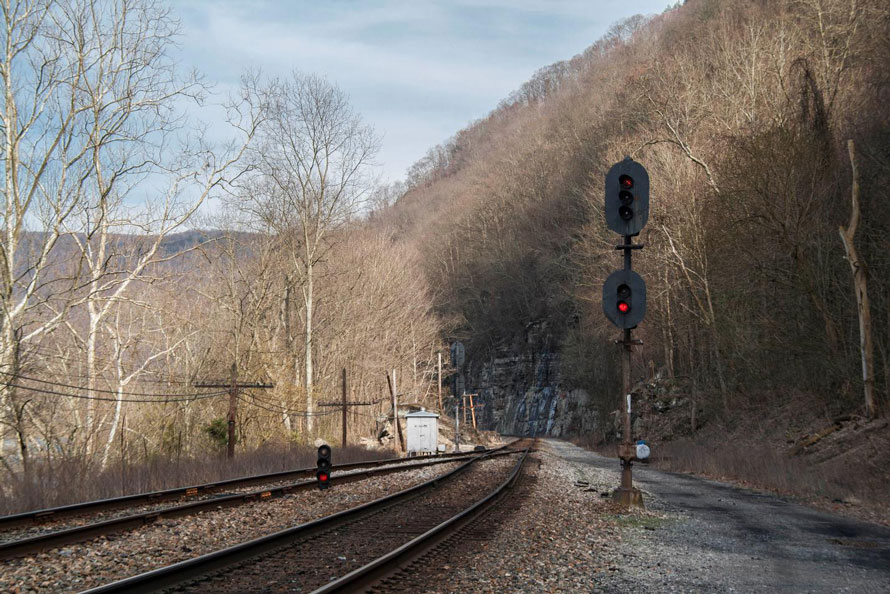
Sitting trackside the Beury company store slowly disappears. The floors long rotted away, the company safe now sits on the ground, its door gone.This part of the Gorge is very remote and the occasional train a welcome sight. Here, we are a mile or so east of Beury and about two miles west of Thurmond.My favorite place to walk in the Gorge is along this access road which runs from Thurmond down the river to Sewell.The last joy ride in Dimmock. As we move east Dimmock is the last ghost town before reaching Thurmond. Not much left here except for this old car.Looking track west at the west end of the Rush Run siding. This siding curves around the mountain with the mainline and terminates at the western end of the town of Thurmond. It is most often used for loads coming down from the plateau along Dunloup Creek.
See you in Part Five as we enter Thurmond, West Virginia!
Great series, including this part, but I’m surprised there was no mention of the narrow gauge Mann’s Creek Railroad, which ran with Shays into the mid-1950s:
Thanks David. In the caption for the two stall engine house I did mention the Mann’s Creek RR.
MIssed that! Thanks for pointing it out!
Oh, how much is missing, from the Alleghenys that pulled the coal trains and the beautiful passenger power and their coaches and Pullmans, to the little Shays on Mann’s Creek, that we wish were still here?
Wonderful history of people and places !
Thank you.
I’ve really been enjoying this series Fred! I need to get back to the area!
I just found your series and very much enjoy them!! I’ve been wanting to go to Beury to see the remains of the company store, but have been told it’s inaccessible; however, you were there. Do you mind sharing how to get there? I would also like to know how to get to Sewell bc it sounds like a very interesting place to visit. Thank you very much for any assistance you can give me.
Very nice. Thanks.
Thank you Harvey.
Great series, including this part, but I’m surprised there was no mention of the narrow gauge Mann’s Creek Railroad, which ran with Shays into the mid-1950s:
http://trn.trains.com/~/media/files/pdf/web-exclusives/trains-oct-2010-web-ex2.pdf
https://en.wikipedia.org/wiki/Mann%27s_Creek_Railroad
Thanks David. In the caption for the two stall engine house I did mention the Mann’s Creek RR.
MIssed that! Thanks for pointing it out!
Oh, how much is missing, from the Alleghenys that pulled the coal trains and the beautiful passenger power and their coaches and Pullmans, to the little Shays on Mann’s Creek, that we wish were still here?
Wonderful history of people and places !
Thank you.
I’ve really been enjoying this series Fred! I need to get back to the area!
I just found your series and very much enjoy them!! I’ve been wanting to go to Beury to see the remains of the company store, but have been told it’s inaccessible; however, you were there. Do you mind sharing how to get there? I would also like to know how to get to Sewell bc it sounds like a very interesting place to visit. Thank you very much for any assistance you can give me.