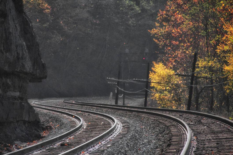
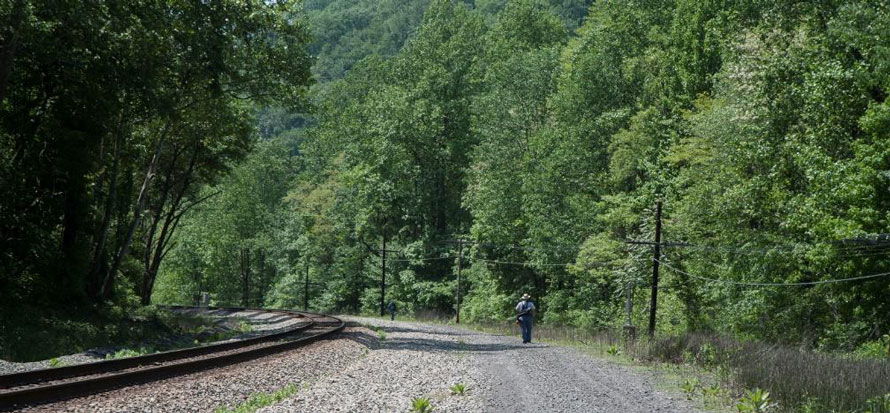
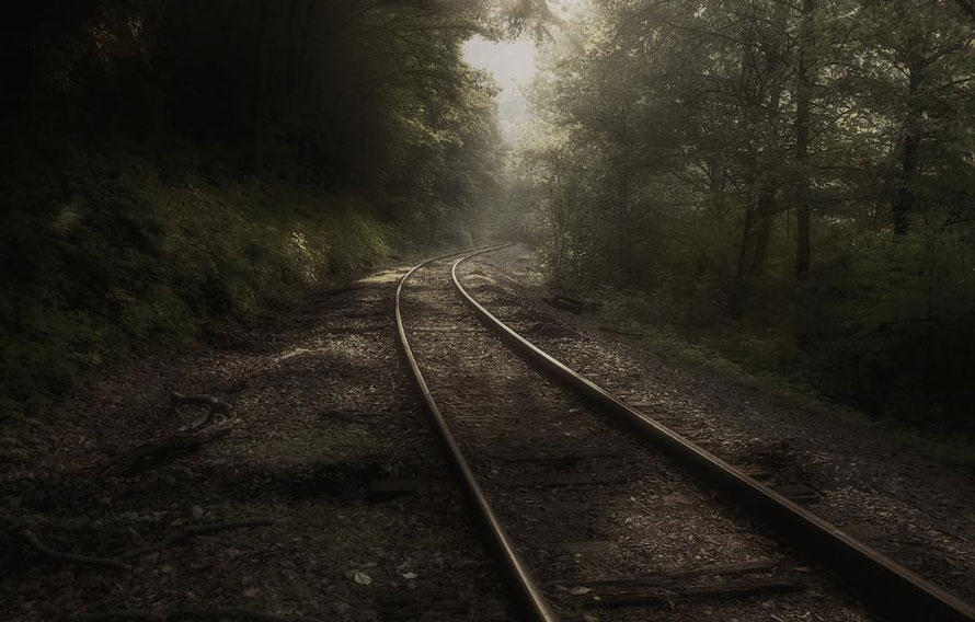
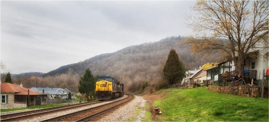
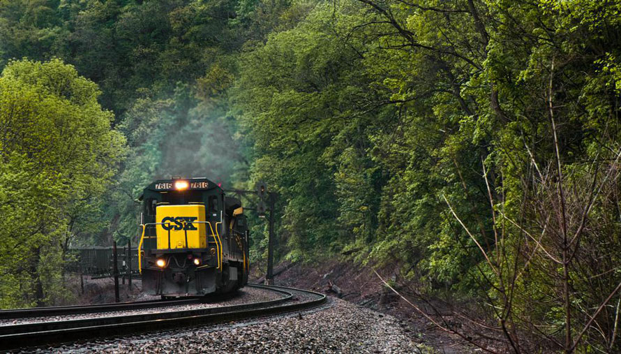
Approaching MP 365, looking track east about half-way between the town of Sandstone, West Virginia and Sandstone Falls.
Across the river from Thurmond, West Virginia, we continue our journey eastward along McKendree Road. After about two miles the road crosses the river at Stone Cliff. After crossing the river the road turns to dirt and gravel. At Stone Cliff camping is permitted and there are rest rooms but no shower facilities or electricity. A footpath from Stone Cliff up along the river is a nice area for spring wildflowers and after about one mile you come to Big Stony Creek which has some nice waterfalls when water flow is up (best time is in spring). I’ve never ventured beyond Big Stony Creek so I don’t know how far the path goes.
A word of caution about McKendree Road. Google maps correctly shows that it goes all the way east to Prince, WV but east of Thayer, WV the road quickly becomes almost impassable. Landslides, fallen trees and other such obstacles often block the way. It should be avoided unless you have a vehicle suitable for off-road. However, between Stone Cliff and Thayer the road isn’t too bad.
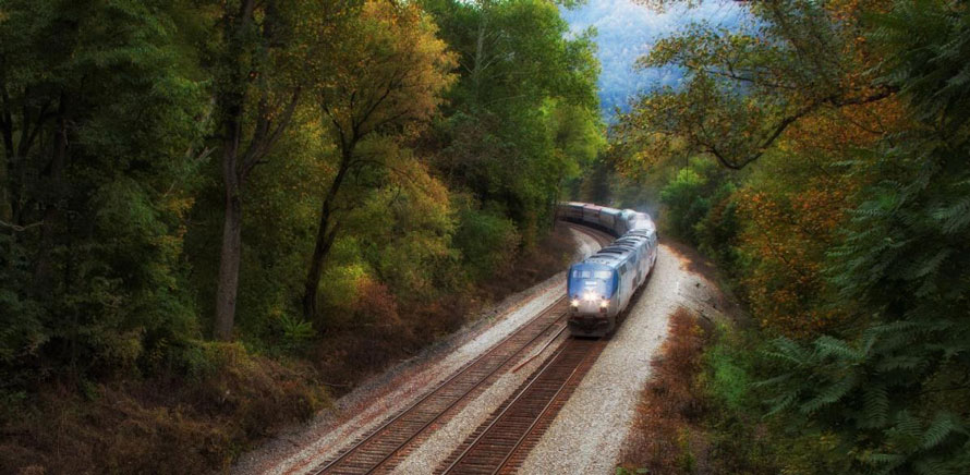
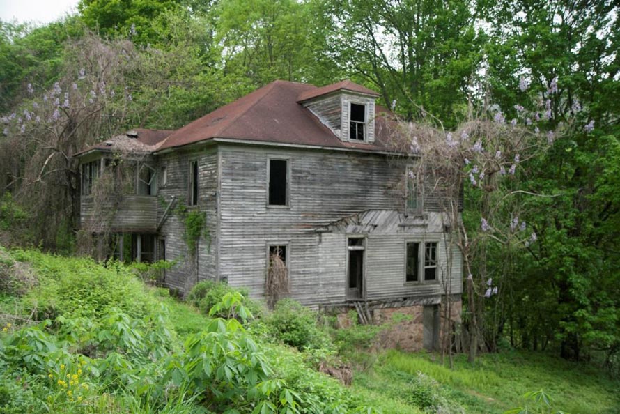
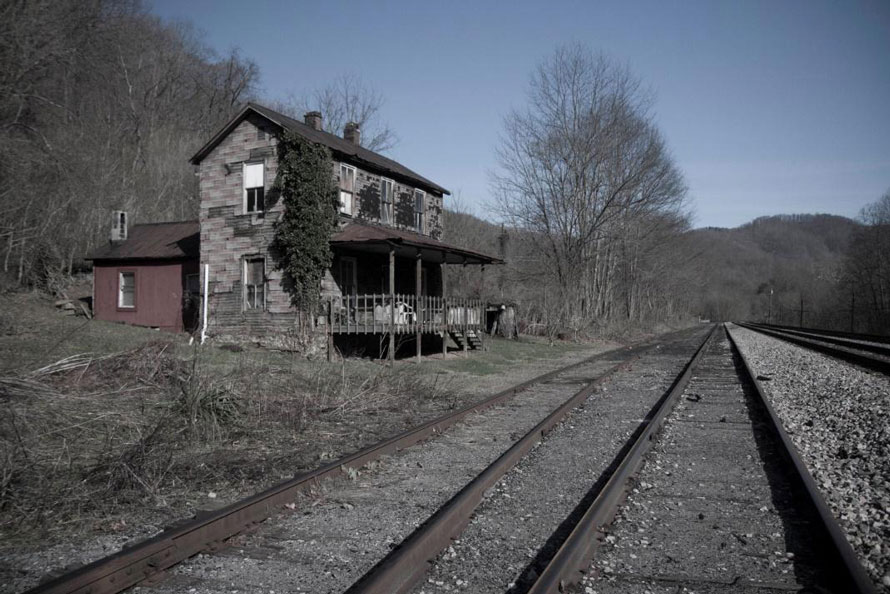
The west-bound New River Train as seen from the highway bridge at Stone Cliff.Hints of days gone by. Three miles east of Thurmond you come to Claremont. There was once mining activity here and a couple of concrete silos survive. There is a short side road here where parking is available with easy access to the river (Todd’s Beach). In the woods here is a long forgotten cemetery.A long ago abandoned house in Thayer, West Virginia.This must have been a fine home. Thayer, West Virginia.
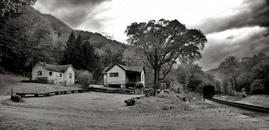
As you leave Claremont the road soon goes up along the sides of the hills. Access to the rails would require a considerable walk through the woods. At Thayer, however, a side road heads down to the tracks and a grade crossing leading to a parking area where river access is available. There is little in Thayer to see. Only about 10 or so people still live there and there are a number of abandoned houses and other structures. A few of the houses have seasonal occupancy due to the ease of river access.
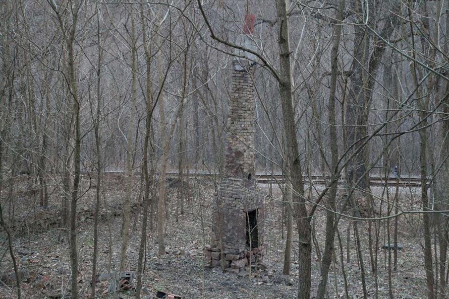
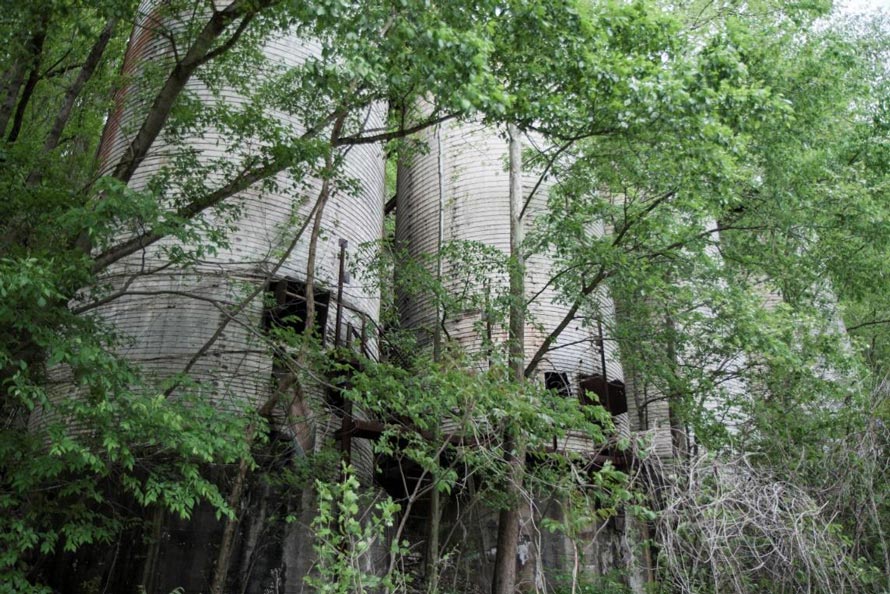
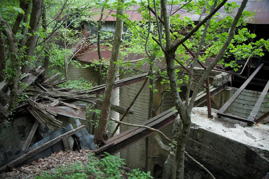
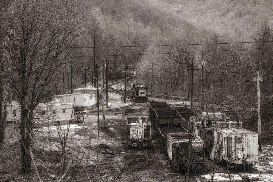
Trackside in Thayer, looking track east just after that coal train went by.Trackside at Buffalo Creek about one mile west of Thayer.About one mile west of Thayer, trackside at the storage silos for a silica sand plant that was here many years ago. Read about Thayer and the silica sand plant here: http://www.wvexp.com/index.php/Thayer,_West_VirginiaMore ruins of the silica sand plant.In the woods a few hundred feet above the tracks sits an old power house and machine shop. Its location at first puzzled me but checking old USGS maps cleared things up. There once were railroad tracks up here and access was provided by a switchback at Thayer. These structures are about ½ mile track west of the grade crossing at Thayer.
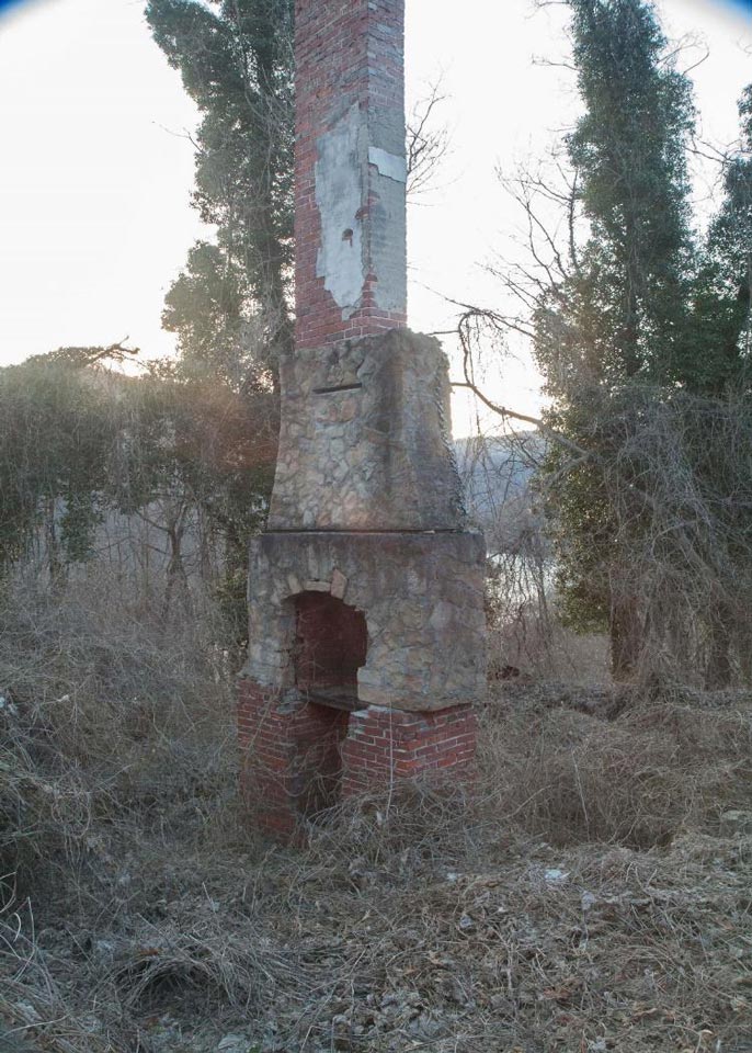
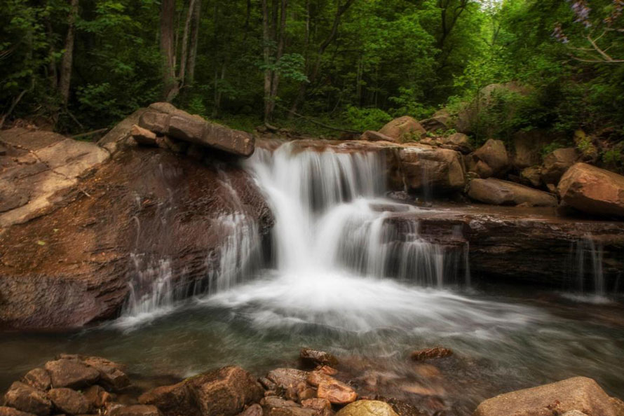
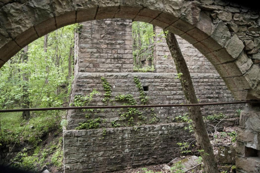
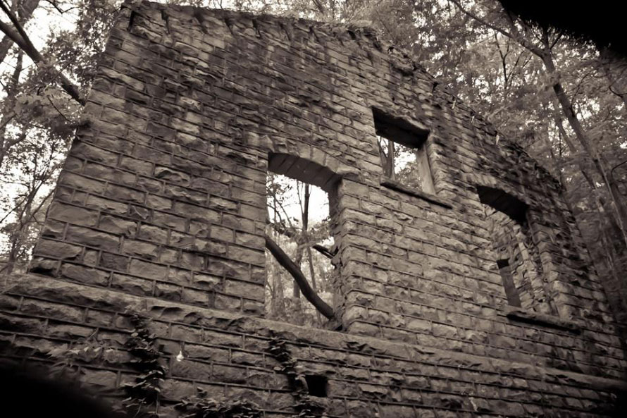
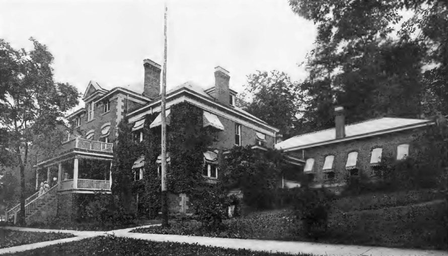
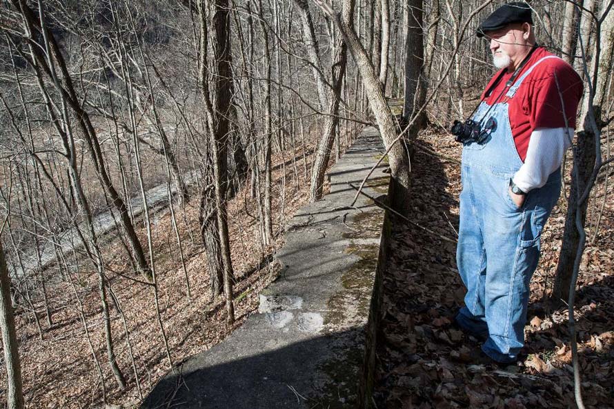
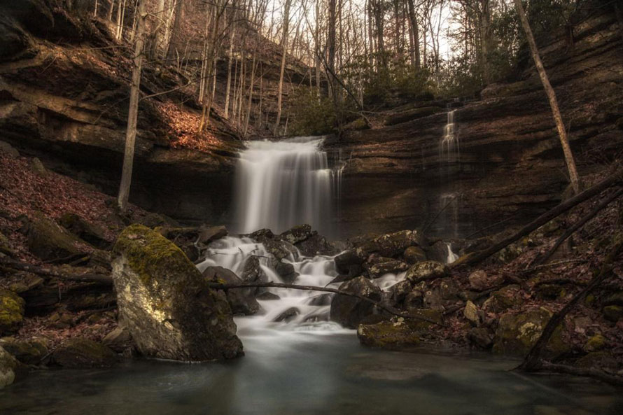
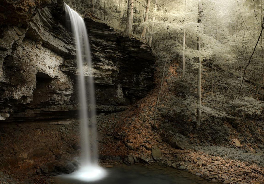
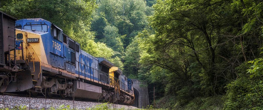
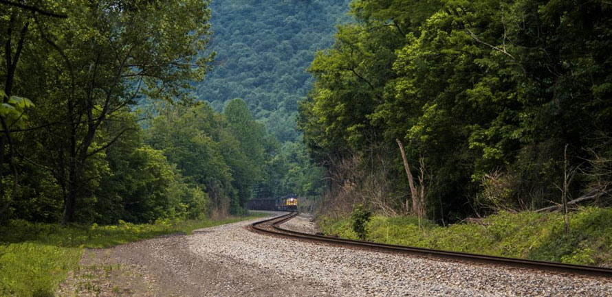
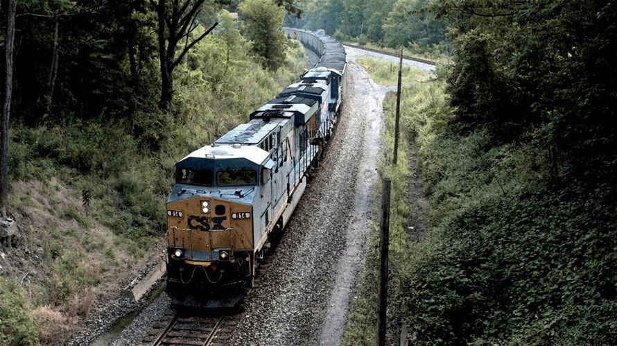
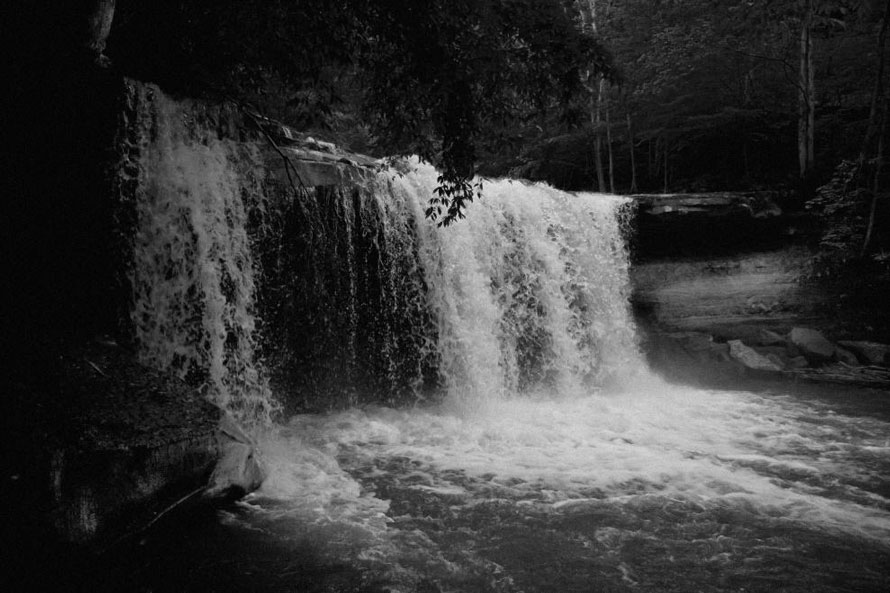
A RR access road runs from Thayer up to Prince (going through the Stretcher’s Neck tunnel). It’s gated at both ends and provides an easy hike away from the tracks (five miles from Thayer to the east portal of the tunnel).McKendree Hospital (Miners Hospital #3) as it looked in 1915. It’s hard to believe this grand structure once sat trackside in the Gorge. It also contained a nursing school. Almost nothing remains now except a few concrete foundations. The ruins are located about 2 miles track east of Thayer.Looking down at the tracks and the river from what used to be McKendree Hospital.About 2 ½ miles track east of Thayer you come to Dowdy Creek and a couple of the finest waterfalls in the Gorge. This one is located just about 75 feet from the tracks. The one shown below is a couple hundred feet farther up the stream.Dowdy CreekAn east-bound coal train about to enter the Stretcher’s Neck tunnel. At the other end is Prince, West Virginia. No longer double-tracked, the access road along here goes through the tunnel. This tunnel is the only remaining one in the Gorge. The other three were daylighted or bypassed many years ago.The same train as it approaches from the west.
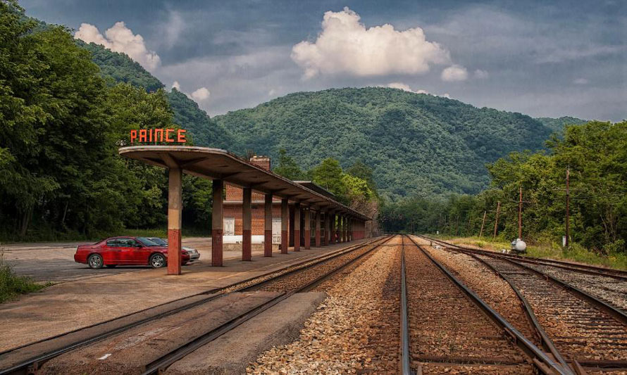
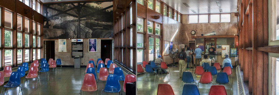
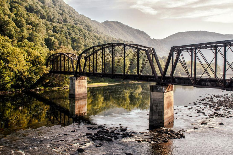
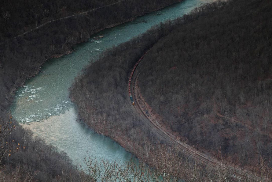
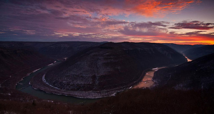
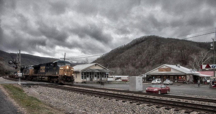
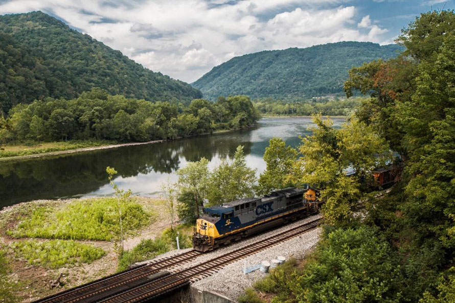
The station here at Prince, West Virginia is the last passenger station built by the former C&O RR. It’s a beautiful art deco classic. It’s a good reminder of the cash cow that was once passenger service. Unfortunately, there is no longer a station agent here although Amtrak does stop six times a week.This rail bridge carries the Piney Creek Branch over the New River at Prince. Prince is through those trees. On this side of the river the Branch moves west about one mile before turning up the Piney Creek Canyon. Piney Creek Canyon is the largest of the side canyons in the Gorge. It’s eleven miles up the canyon before you get to Raleigh, WV. Beyond that there were once several branches spreading out over the plateau servicing the various coal mines.A view up the Piney Creek Branch.West-bound empties at Prince, West Virginia about to enter the Stretcher’s Neck tunnel. The track in the distance on the right is the Piney Creek Branch.Quinnemont, West Virginia is about one mile track east of Prince. It sits at the mouth of Laurel Creek. Coal mining operations in the Gorge began here. There was a wye here and tracks ran up Laurel Creek to a mine opened by Joseph Beury. There was once a limestone furnace here and, for some reason, a jail. All four walls of the jail are still standing. As you move track east from here you enter the most remote stretch of rails in the Gorge.An east-bound moves along the river about one mile track east of Quinnemont. This view is from the Grandview State Park overlook.A sunrise from the Grandview overlook. The lights in the distance on the left is Quinnemont, West Virginia.
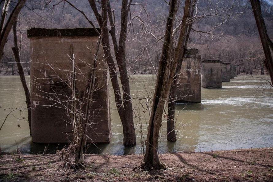
As we continue east from Quinnemont we come to the ghost town of Glade, located about half-way between Quinnemont and Meadow Creek (MP 374). Glade had a population of about 70. Those pillars are all that is left of the bridge which once connected Glade to the town of Hamlet. Hamlet is also now a ghost town. Not much remains in either town except for a few scattered items and foundations of long gone structures. Across the river is Glade Creek canyon and the former location of the narrow gauge Glade Creek and Raleigh Railroad. It was strictly a logging operation. The former rail bed is now a fine hiking trail taking you over five miles into the beautiful canyon. The access to Glade Creek is by a five mile long dirt road which begins across the river from Prince, WV. Camping is available in multiple places.
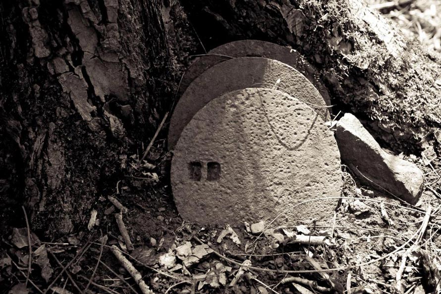
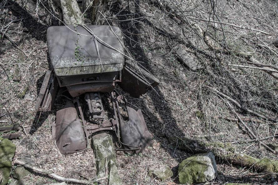
Cook stove lids I spotted in Glade.A couple miles east of Glade at the mouth of Camp Branch this rusting truck slowly succumbs to the elements. According to the New River Atlas there was once a mill here powered by a truck engine. Perhaps this is it? The truck sits trackside.As we come into Meadow Creek, West Virginia, this old house is the first structure we come across. A great front porch for train watching? The tracks to the far right is the double-tracked mainline. On the left is a siding and the west leg of the Meadow Creek wye. The wye track here at Meadow Creek forms the junction with the Sewell Valley Subdivison. The Sewell Valley Sub has a long and complicated history which you can read about here: http://abandonedonline.net/locations/railroads/nicholas-fayette-and-greenbrier-railway/Looking track east along the east leg of the Meadow Creek wye.From Meadow Creek you can drive up the mountain to Meadow Bridge, WV following along lovely Meadow Creek…it has a few nice waterfalls.Train watching is a family affair in Meadow Creek. Even the hound dog gets into the play by howling at the train.Richmond’s Store in Sandstone, WV.
The Richmond family has been in this area since at least the 1700’s. Before the railroad came (1873) merchandise came to this area by boat on the New River. Sandstone Falls (once called Richmond Falls) was a major obstacle. Boats were off-loaded above the falls, then the Richmond family moved the goods by road to below the falls where they were again loaded onto boats. Boats continued down river to Terry (just below Prince) where they were off-loaded and the goods then taken by wagon up Batoff Mountain to the plateau. Eventually the Richmonds built a race around the falls on the south side, the remains of which are still there. Water no longer flows through it but it contains standing water.
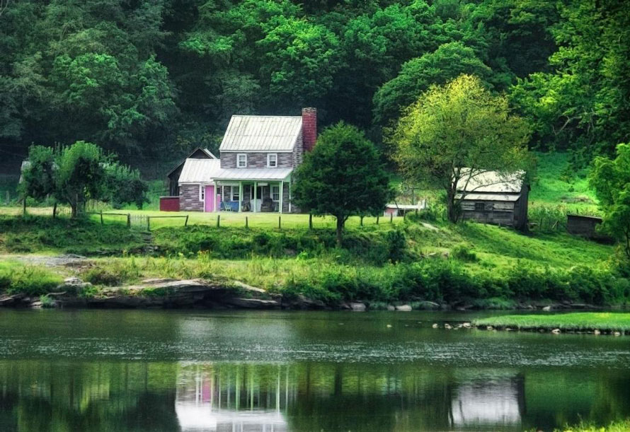
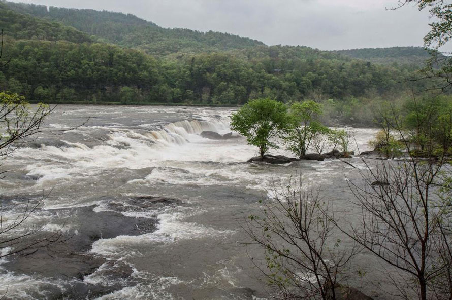
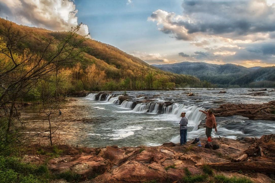
A view from the highway bridge over Laurel Creek in Sandstone, West Virginia.Looking back in time? An old farm across the river from Sandstone, West Virginia.Rolling east near Sandstone Falls, West Virginia.A trackside view of Sandstone Falls (located about 1.25 miles east of Sandstone, West Virginia).Sandstone Falls from trackside.
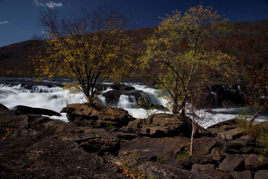
The north side view of Sandstone Falls is accessible only by boat or along the rails. It’s an easy walk and there are plenty of places to explore and just enjoy the view.
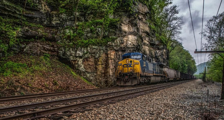
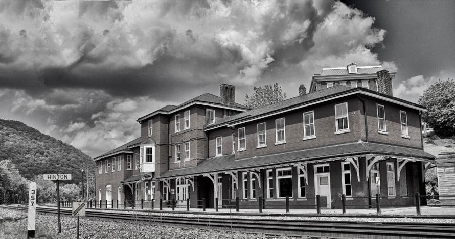
West-bound empties roll hard by the cliffs at Sandstone Falls.The south side of Sandstone Falls is accessible by road and protected by the National Park Service. It’s a wonderful place to visit. There are elevated walkways here which allow you to walk out to better views of the falls.Hinton, West Virginia.
We have reached the eastern terminus of the New River Sub and the end of our journey. Here at Hinton the Allegheny Sub begins. Some real mountain railroading begins here and there are some really great ran fan locations between here and Clifton Forge, Virginia.
Even though this journey took six installments I still feel as though what I’ve given is a brief summary. The history of the Gorge is filled with far more stories than I’ve related and there are many great rail fan opportunities. Still, it’s been fun.
If you plan to explore the Gorge, or are just interested in its history I highly recommend you purchase a copy of the New River Atlas, by W.E. Trout. (Amazon lists this title as out of print, but it appears that copies are available on the Virginia Canals & Navigation Society’s website-ed.)
Hope to see you in the Gorge!
Fred — I very much enjoyed your previous work on the New River Gorge and this final installment was equally as interesting; the images are wonderful. I look forward to your adventures in 2018.
Thank you Paul.
Great adventure , thanks for sharing with rail fans and historians !! Beautiful area for sure !!!!
Thank you.