A Very Special Rail Fan Destination
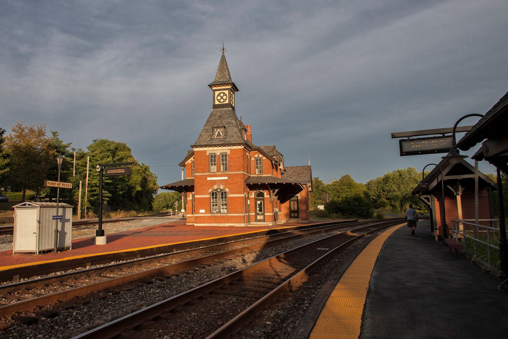
Rail fans come in many flavors: train watchers, history buffs, modelers seeking details, technical enthusiasts, equipment lovers, and photographers both hobby and serious. Point of Rocks has it all with robust rail traffic as an added bonus.
The station itself is the shinning jewel. Designed by E. Francis Baldwin in the Victorian Gothic style and built by the Baltimore & Ohio Railroad (B&O) in 1876, it remains as one of the most beautiful of historic rail road structures. It is not opened to the public and is used by CSX as an office. In 1931 it was struck by lightning and gutted by fire. We can be thankful that the B&O ordered its full restoration.
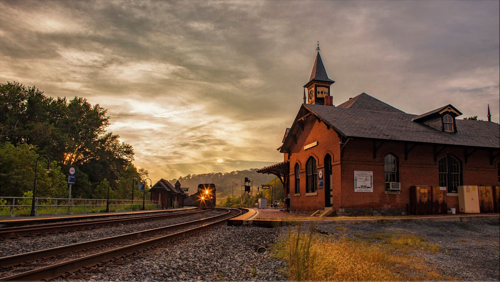
The station sits inside a wye formed by the junction of two former B&O mainlines (all tracks are now owned by CSX). The south side of the wye (shown above) is the Metropolitan Subdivision which carries most of the traffic you will see here and moves CSX freight east and west. This is the “new” main line completed by the B&O in 1873. The north side of the wye is the Old Main Line Subdivision and carries trains to Baltimore. This is the original B&O main line completed in the mid-1800’s. The east side of the wye connects these two main lines and is used primarily by Maryland Area Regional Commuter (MARC) trains diverging from the Metropolitan Sub to the Old Main Line Sub and eventually to the Frederick Branch.
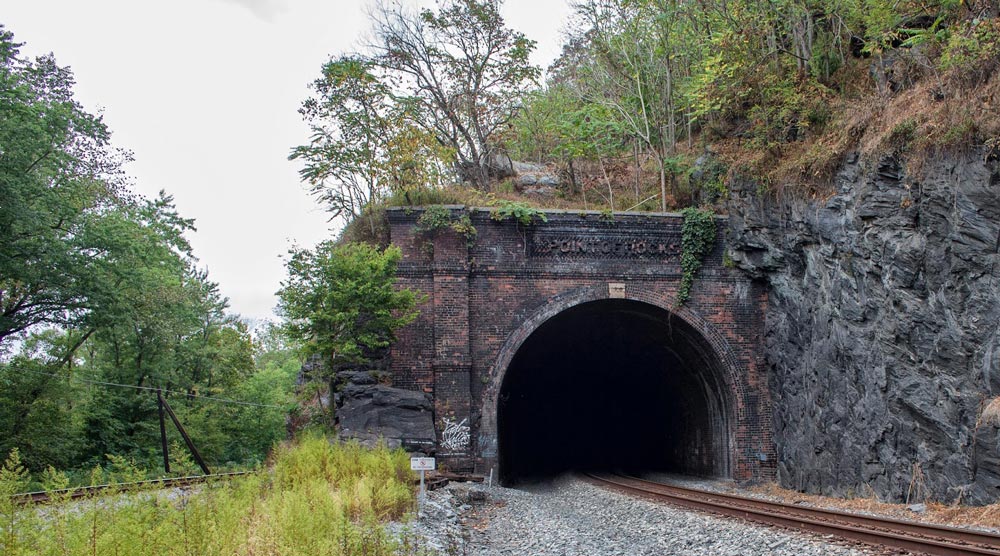
Just west of the station is the Point of Rocks tunnel. The original single-track main line is the track on the left which goes around the cliff. The tunnel was completed in 1902 when it became necessary to add a second track. The tunnel portal is an interesting brick structure with “Point of Rocks” cleverly spelled out by protruding bricks. Both the east and west portals are of the same design. Most tunnel portals are drab concrete affairs but from time to time the railroads made the decision to get fancy. Another good example is the old Chesapeake & Ohio Railway Ft. Spring, WV tunnel which is of a classy art deco design.
Just over the river bank from the original main line was the Chesapeake& Ohio Canal (C&O). Space is tight here and the rail road and canal folks were often at odds. A wall between the two was constructed to help ensure the trains did not scare the mules pulling the canal boats
“Less than the width of a baseball diamond. For a quarter mile at Point of Rocks the space between the Potomac River and the mountain is that narrow. The C&O Canal Company and its arch rival the B&O Railroad were sure both a canal and a railroad wouldn’t fit there. Which one would get the land needed for their project? Who would decide? How long would the decision take?
These are things that intrigue me about Point of Rocks. The C&O Canal Company believed they owned that strip because their predecessor, the Potowmack Company, had owned the land. The B&O Railroad fought this and the dispute went to court in 1828. It took four years for the court to decide in the Canal Company’s favor.
In the end the C&O Canal Company came to an agreement with the B&O Railroad because the canal company needed the money. They managed to squeeze a canal and railroad into this narrow strip. It still didn’t quite fit. To make more room the B&O Railroad later blasted a tunnel through the hill next to the canal. Both companies operated side by side until the canal closed in 1924.” – Ranger Lisa – CanalTrust.org
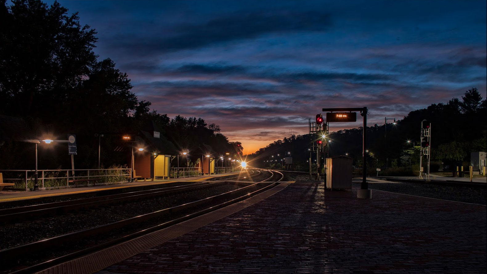
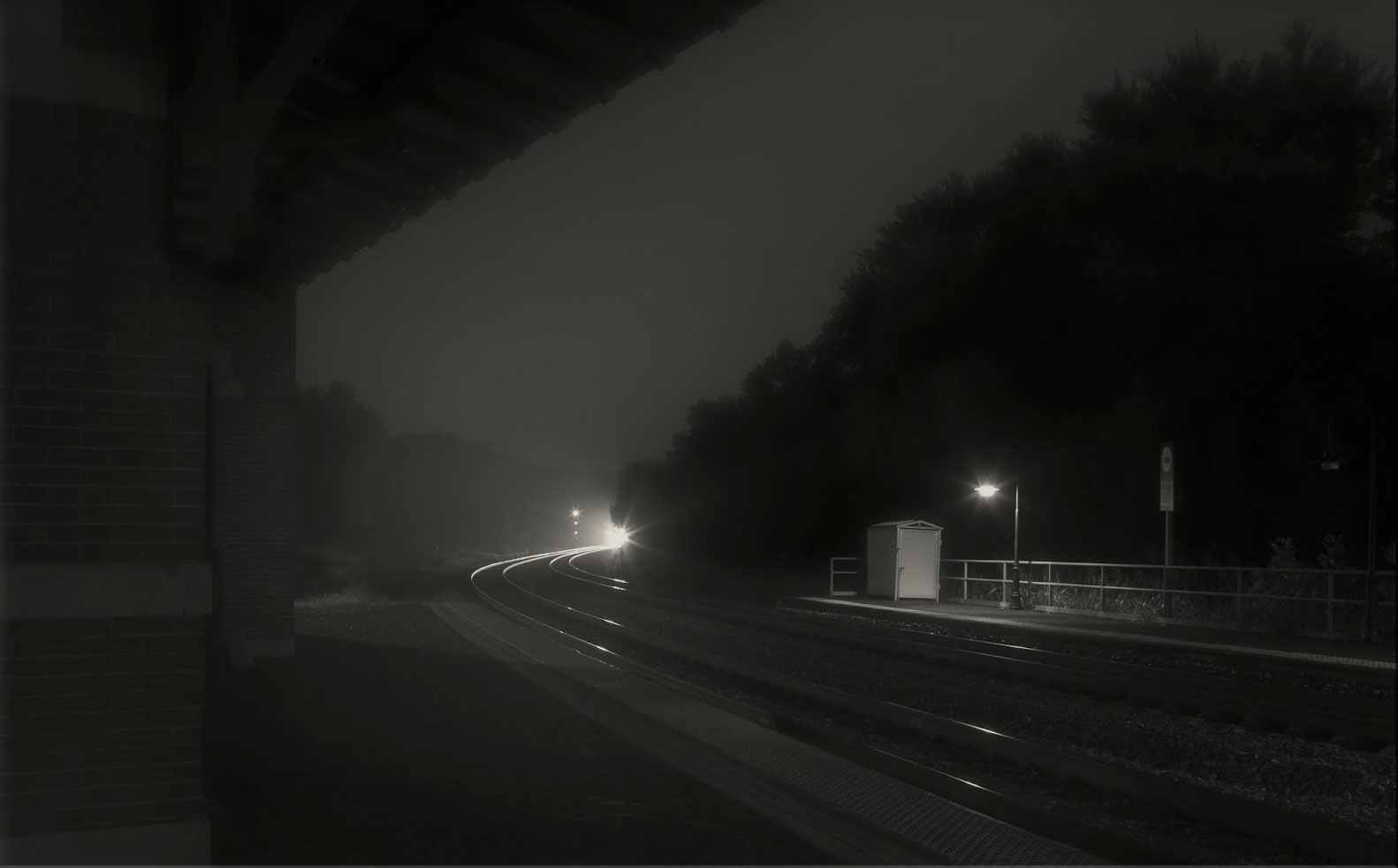
For night photography Point of Rocks has a pleasing array of lights which are helpful in illuminating the area, lessening the need to use a flash (I actually never use a flash for night photography). The well-lighted areas also provide a measure of safety when moving about trackside. My only complaint, and it’s a minor one, is that I wish the station had some exterior lighting.
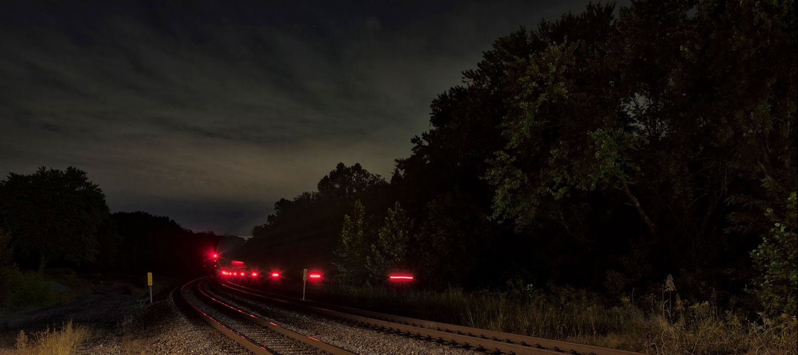
I grabbed a few shots of commuters de-boarding the MARC trains. I’ve never had any real objection to people showing up in my images. Most often, unless they are blocking the critical elements of a composition, they can add interest to an image. I enjoy capturing the hustle and bustle of folks coming and going about their daily routines. In large cities like Chicago or New York the mass of souls moving about can be quite fascinating.
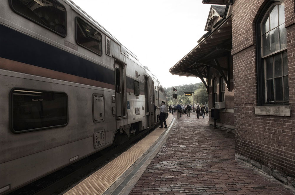
The MARC Brunswick Line runs 9 east-bounds and 10 west-bounds through here Monday through Friday. Not all of them stop here though. I’m not clever enough about train movements to understand how that 9/10 train schedule works. In addition, the Capitol Limited goes by twice a day seven days a week—one west, one east. Those 21 passenger trains are a nice addition to the already busy freight traffic.
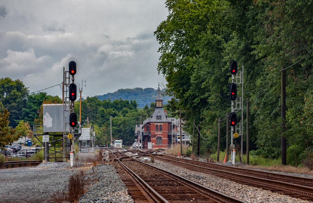
My recent trip to Point of Rocks (September, 2016) was my first and I look forward to a return. My primary interest in such places revolves around railroad photography and this beautiful place offers a rich array of photo opportunities. I did not explore all potential locations and following my return home I’ve thought of other compositions I’d like to explore. A little east of the station along the Old Main Line there is a grade crossing. From looking at Google maps it appears there might be some nice views looking back west towards the station.
Saying goodnight from Point of Rocks and wishing you Happy Rail Fanning!
Fred Wolfe – Photographs and text Copyright 2016
See more of Fred’s work at http://fredwolfe.Zenfolio.com or find him on Facebook at Wolfelight-Images and at http://www.facebook.com/fred.wolfe.98
