The New River Gorge

Part Six

Approaching MP 365, looking track east about half-way between the town of Sandstone, West Virginia and Sandstone Falls.

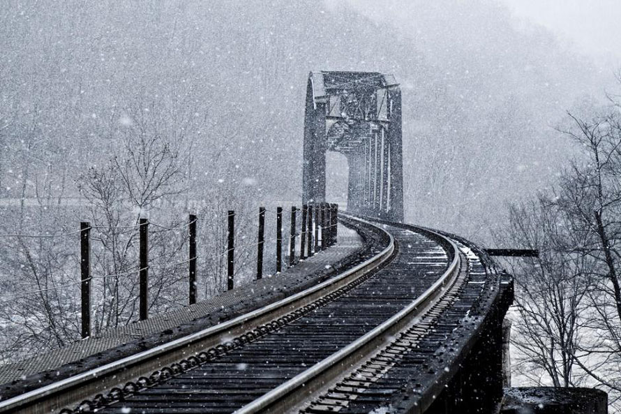
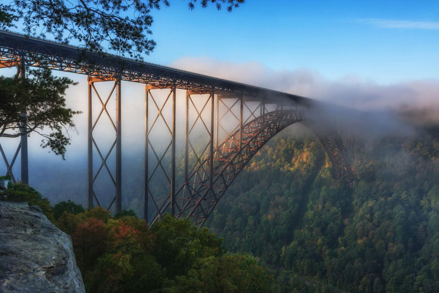
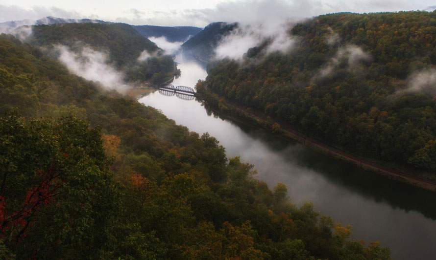
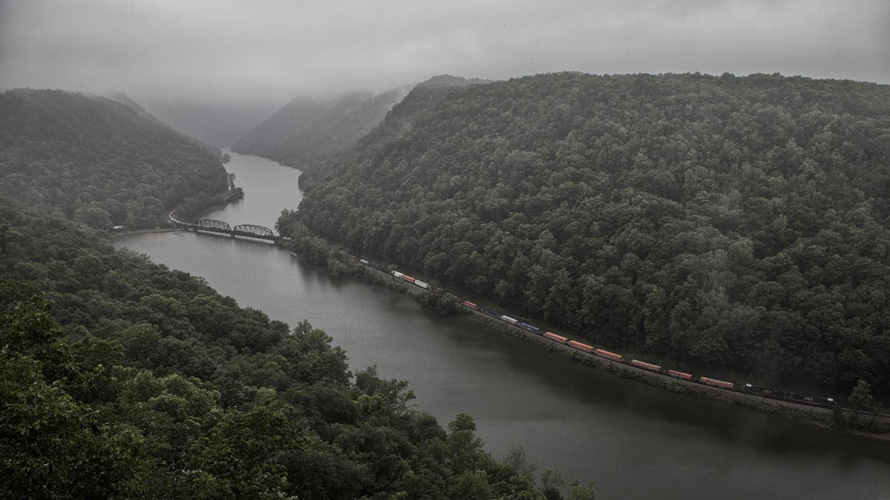
Across the river from Thurmond, West Virginia, we continue our journey eastward along McKendree Road. After about two miles the road crosses the river at Stone Cliff. After crossing the river the road turns to dirt and gravel. At Stone Cliff camping is permitted and there are rest rooms but no shower facilities or electricity. A footpath from Stone Cliff up along the river is a nice area for spring wildflowers and after about one mile you come to Big Stony Creek which has some nice waterfalls when water flow is up (best time is in spring). I’ve never ventured beyond Big Stony Creek so I don’t know how far the path goes. Read more

The New River Gorge

Part Four

Read The New River Gorge Part One; Part Two; Part Three

The Sewell Bridge

In Part Three we had just arrived at the Sewell Bridge. Here on the south side of the Sewell Bridge was the location of the western terminus of the Southside Junction. Most of the mining in the Gorge was “drift mining” – coal seams were exposed on the mountain slopes and all that required was building access up to the seam and then mining into it. Since the New River had simply interrupted the various seams, those on the north side were continued on the slopes of the south side. The Southside Junction was built to accommodate mining these other seams. The Southside Junction ran from here up to Dun Glen across from Thurmond, West Virginia.

Read more

The New River Gorge

Part Three

Read The New River Gorge Part One here and Part Two here

The New River Gorge Bridge as seen from Bridge Buttress

In Part Two, we had just begun to explore Fayette Station, West Virginia.  Here Route 82 (one way from the north side of the Gorge and back up the other side) descends the mountain to the river then back up along the south side.  Before the New River Gorge Bridge was built, Route 82 was how the Gorge was crossed at this location.  At that time it was two way but for years now it has been limited to one way traffic.

Fayette Station is a busy place during the warm months.  It is a center of activity for raft take-outs, rock climbing, viewing the bridge and for several waterfalls which are within walking distance.  It also has a great rail fan location which I’ll get to later. Read more

The New River Gorge

Part Two

(Click here to read The New River Gorge – Part One)

Looking track east from the overlook at Hawk’s Nest. Here, main #2 continues along the south side of the river while main #1 crosses the bridge and continues along the north side. The two mains rejoin on the north side at the bridge crossing at Cunard, West Virginia.

In Part One we left off at Cotton Hill, West Virginia. As we move track east we soon come to Hawk’s Nest, only a couple of miles upriver from Cotton Hill. At Hawk’s Nest you step into the rich coal mining history of the Gorge. The 30 track miles from Hawk’s Nest to Quinnimont contain almost the entire history of New River coal. In the peak years early in the last century the Chesapeake & Ohio Railway (C&O) serviced 75 mines along this stretch of river including the various branch lines that crawled up the several side canyons.

Read more

The New River Gorge

Part One

Far below the Hawk’s Nest overlook, a stack train moves east through the New River Gorge.

In 1872 Collis P. Huntington took an overnight float trip down the New River from Hinton to Hawk’s Nest to see where his railroad was going. By 1873 the line was finished. By 1874 the first branch line (Laurel Creek, Quinnemont) was open as was the first mine (Laurel Creek, Joseph Beury).  Cutting ever deeper through the mountains, the New River exposed four coal seams world famous for high quality, high BTU coal.
Read more