Part Two
(Click here to read The New River Gorge – Part One)
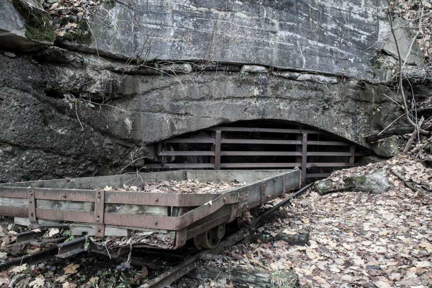
In Part One we left off at Cotton Hill, West Virginia. As we move track east we soon come to Hawk’s Nest, only a couple of miles upriver from Cotton Hill. At Hawk’s Nest you step into the rich coal mining history of the Gorge. The 30 track miles from Hawk’s Nest to Quinnimont contain almost the entire history of New River coal. In the peak years early in the last century the Chesapeake & Ohio Railway (C&O) serviced 75 mines along this stretch of river including the various branch lines that crawled up the several side canyons.
The Hawk’s Nest branch followed Mill Creek up the mountain to Ansted (about 2 miles) and then continued on for a mile or so to reach the mines which extracted coal from Gauley Mountain. Today the former rail bed is a walking trail. On the other side of the stream is a dirt road which will take you down to the river.
The Hawk’s Nest branch started out as narrow gauge but was soon upgraded to standard. It serviced a couple of mines beyond Ansted and one along Mill Creek. At the base on the mountain by the mainline it also serviced a small, two-track yard. The grade and some track and ties remain of the yard.
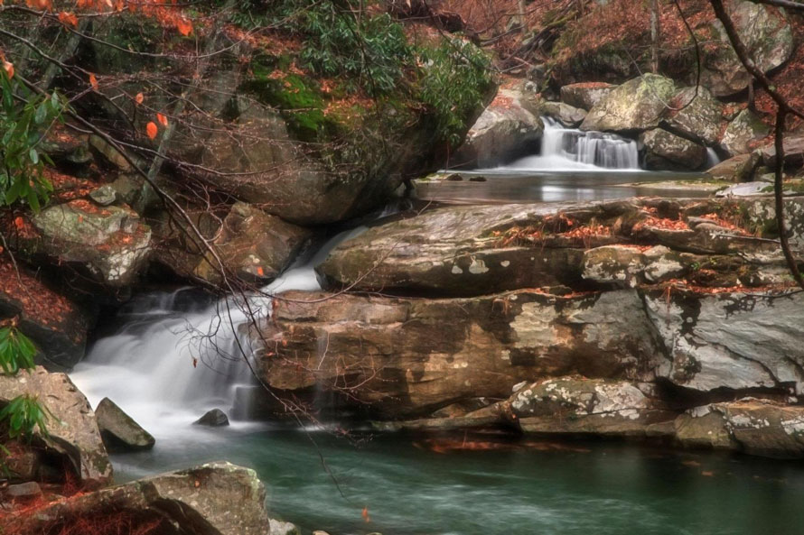
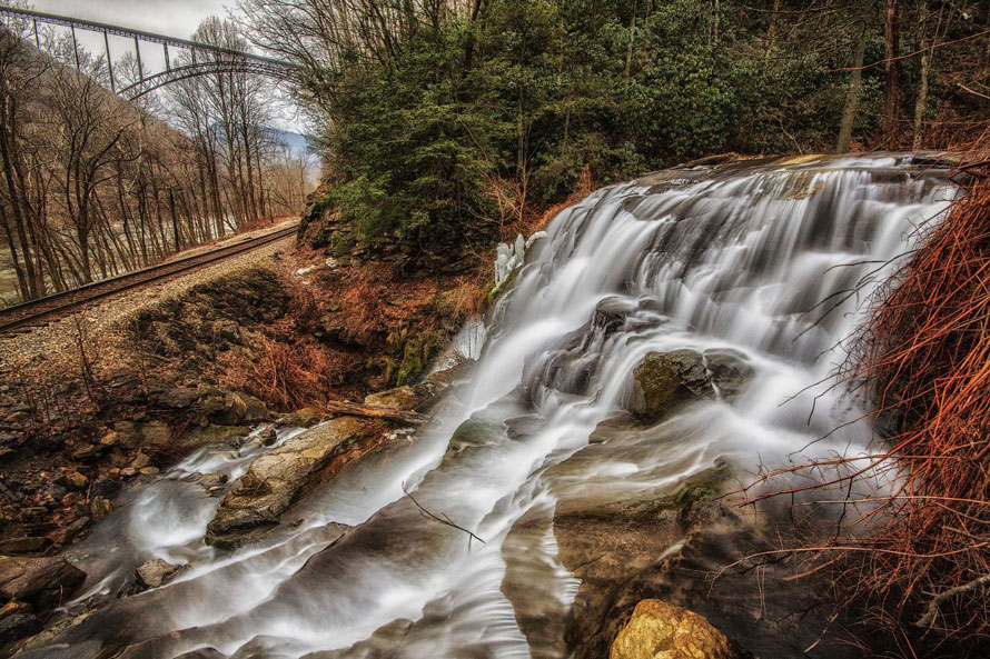
If you enjoy scenic beauty with rail-fanning, then Hawk’s Nest and Mill Creek in particular are great destinations, especially for those who like waterfalls.
Across the river from Hawk’s Nest is MacDougal (still a place name for CSX). MacDougal once had a freight station but that is now long gone. This general area started out as Miller’s Ferry. Goods moved down the mountain from Ansted, crossed on the ferry to MacDougal then up the other side to Bachman along a road now long gone.
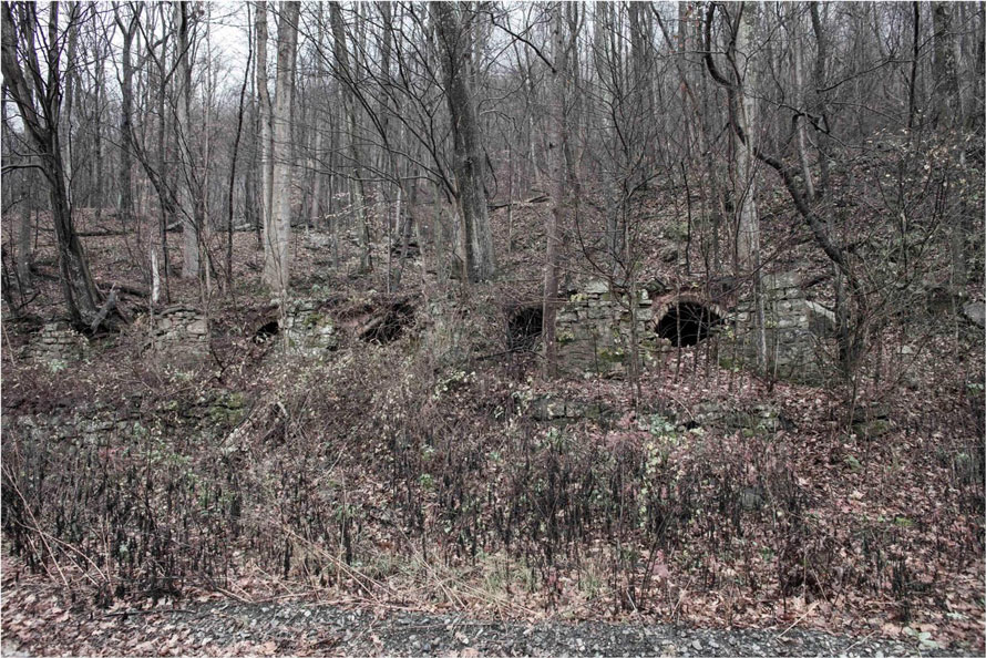
Time, weather and vandals have conspired to all but erase what were once 50 towns in the heart of the Gorge.”
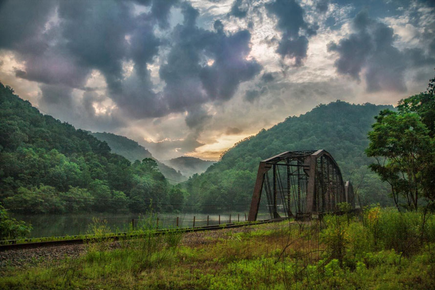
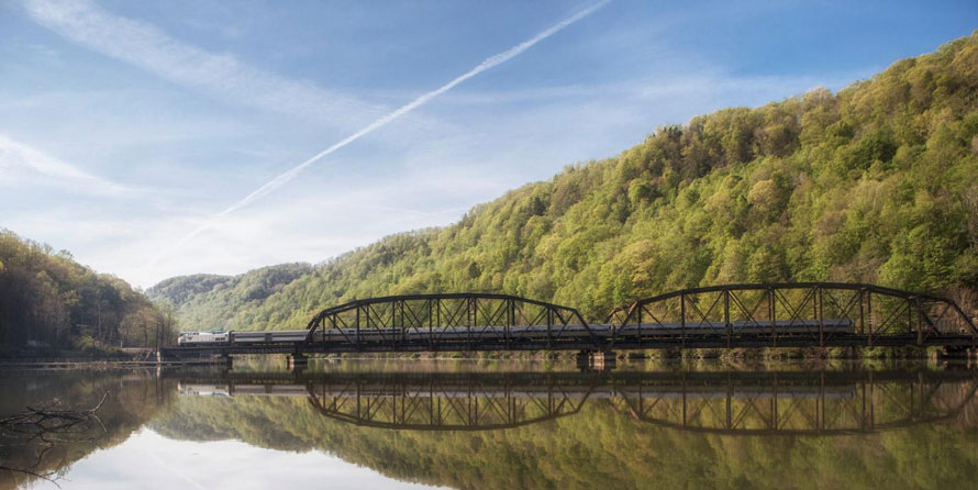
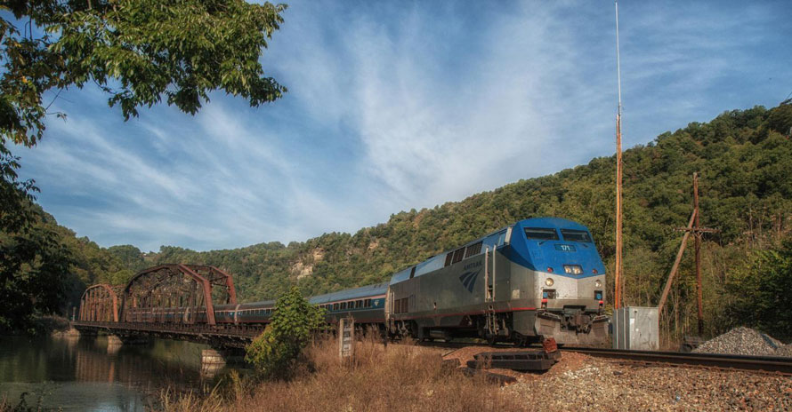
At Hawk’s Nest, the double-track main of the New River Sub splits. Main #2 continues on the south side of the river while main #1 crosses the river and continues on the north side. This arrangement continues for the next 11 track miles until you get to Cunard (Sewell) where main #2 crosses over to the north side to join #1. From Sewell, however, it’s single track to Thurmond. Many years ago there were tracks which continued upriver on the south side from Cunard to Thurmond, servicing the many mines along that stretch of track. That old rail bed is now the Southside Junction trail.
As you continue on track east you can spot many ruins if you watch carefully. Time, weather and vandals have conspired to all but erase what were once 50 towns in the heart of the Gorge. Thurmond, Thayer and Prince are about all that are left. Many place names are still in use by CSX, but many more are just historical designations. As you move from Hawk’s Nest to Fayette Station you pass by Sunnyside, Elmo, Alaska, Michigan and others, all of which are now just faint footprints in the woods.
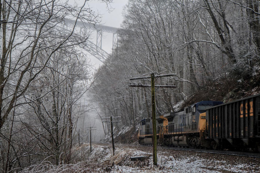
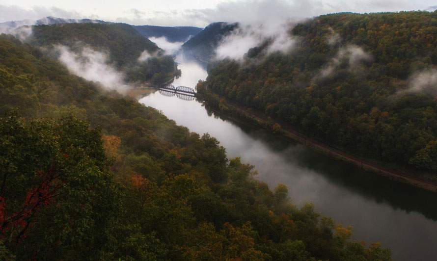
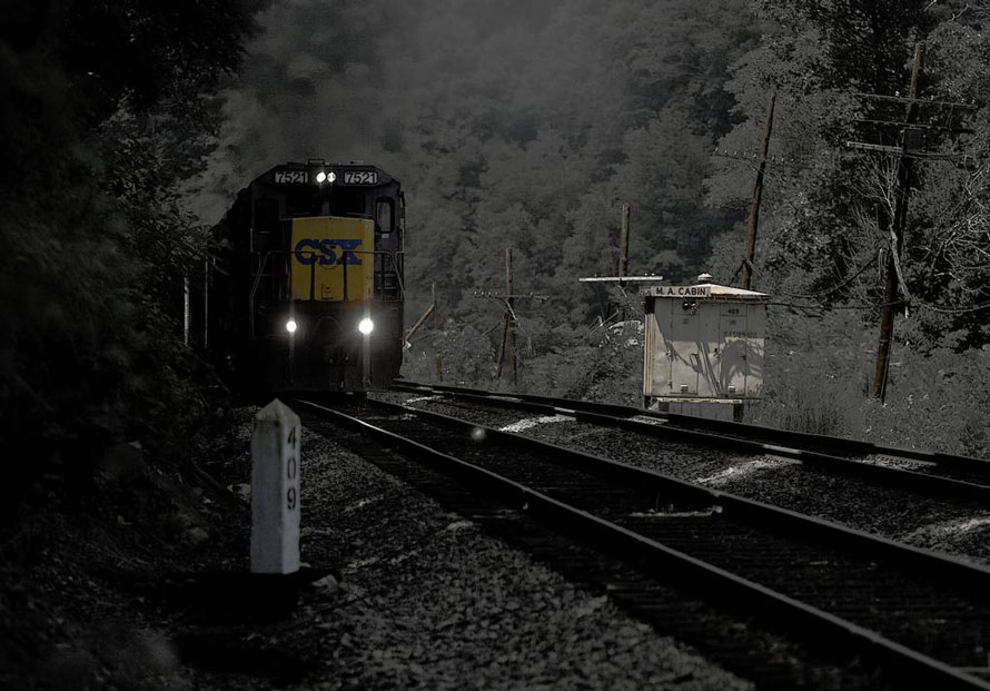
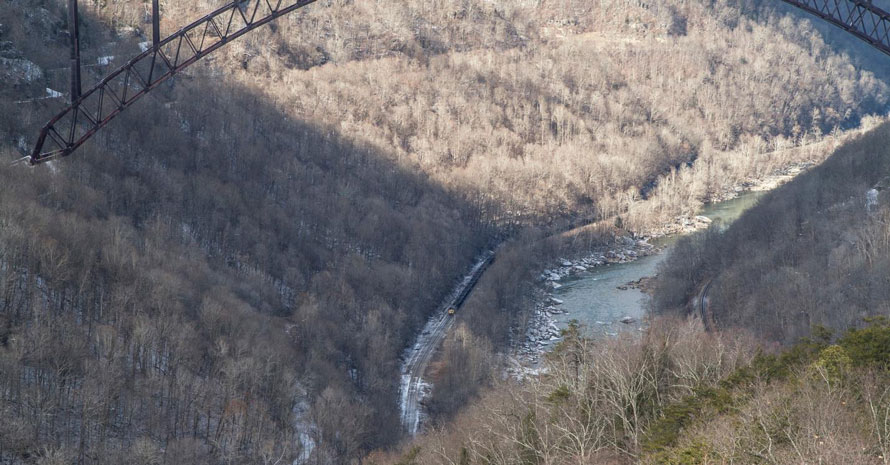
Among the best activities in the Gorge (aside from rail fanning) is to visit some of the wonderful overlooks from the high cliffs. But even from many of the overlooks, great rail fanning is possible. From 1,200 feet above the river heavy, slow moving freights moving east (upriver) can be heard long before they arrive and often for long after they have passed.
Looking forward to seeing you again in the next installment of the New River Gorge.
Don't miss The New River Gorge - Part Three,
  coming June 8th, 2017
Fred Wolfe – Photographs and text Copyright 2017
See more of Fred’s work at http://fredwolfe.Zenfolio.com or find him on Facebook at Wolfelight-Images and at http://www.facebook.com/fred.wolfe.98